
Signal intodecisions.Inside your perimeter.
Everything your organization can hear, see from above, or sense on the ground

KL Echo
Voice and Language Intelligence
Voice agents, transcription, and automated quality review for Arabic and English.
Echo is an end-to-end voice and language layer for Arabic and English customer interactions: voice agents, chatbots, transcription, summarization, and semantic search across everything that was said and written.
It's built for how people actually talk — Gulf dialect, code-switching mid-sentence, overlapping speakers, compressed call audio — where general-purpose speech models degrade badly.
Beyond understanding, Echo checks and acts. Automated policy and quality review on every interaction rather than a sampled few, analytics at both the single-conversation and whole-operation level, and voice agents that resolve, route, and escalate to a person when confidence drops — with a reasoning trail you can audit.

KL Horizon
Geospatial Intelligence
Detection, measurement, and change monitoring across satellite and aerial imagery.
Horizon transforms satellite, aerial, and other geospatial imagery into decisions: detecting, measuring, monitoring, and comparing assets, activities, and changes across large geographic areas.
Built for continuous monitoring rather than one-off analysis — what changed, where, by how much, and whether it matters. Small objects, low contrast, cloud and haze, mixed resolutions and revisit rates: the conditions where benchmark accuracy stops predicting field performance.
KL Fusion
Multimodal Physical Intelligence
Camera, LiDAR, satellite, and sensor data combined into one view of a physical site.
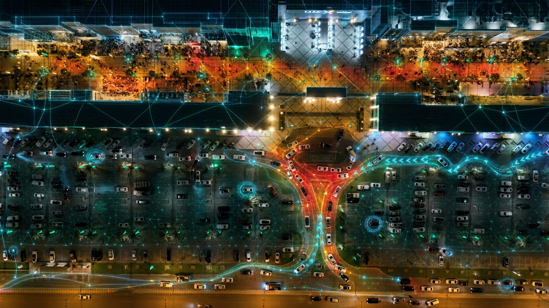
Fusion combines computer vision, LiDAR, satellite, and other sensor inputs into a unified understanding of physical environments — automating inspection and monitoring, and grounding operational decisions in more than one kind of evidence.
The hard part isn't the models. It's synchronization, calibration, disagreeing sources, and engineering that holds up when one feed drops at three in the morning.
Most AI platforms are a thin layer over someone else's API. That stops working the moment your data can't leave your network
Serving models on fixed hardware, evaluating quality without shipping data out, updating a system with no route to the internet: that work doesn't disappear because the models got good.
We build at the system level, for that constraint. It sets our ceiling, not our scope — and the engineering behind these three isn't limited to three problems.

Raied Aljadaany
Raied has spent the majority of his career building and operating AI systems in production in Saudi Arabia, leading engineering teams that take models from research through to systems running under live operational load.
That applied work sits on research foundations: a PhD in machine learning and computer vision from Carnegie Mellon University, with published work in image restoration and recognition at CVPR and other peer-reviewed venues.
The team
Knowledge Layer is a senior team. Our engineers average nine years of professional engineering experience, with backgrounds in large-scale computer vision, Arabic speech processing, agentic systems, and ML infrastructure — including deployments in air-gapped government environments.